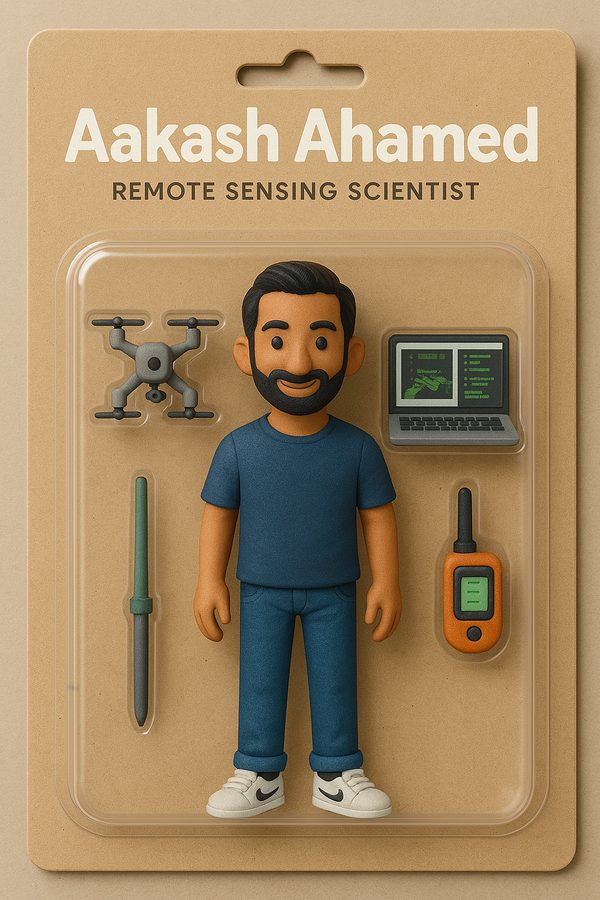
Geospatial Scientist · Educator · Entrepreneur
x + Δ
Aakash Ahamed
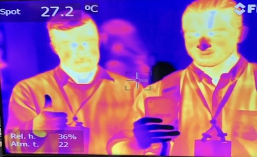
My goal is to be a force multiplier (x) for positive (+) change (Δ). I leverage sensors on phones, drones, planes, and satellites to measure Earth’s water, forests, and changing landscapes. Chief Scientist at Working Trees. Assistant Professor at Cal Poly SLO.
remote sensinghydrologyagroforestryphotogrammetrymachine learningdrone mapping
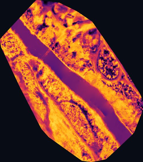
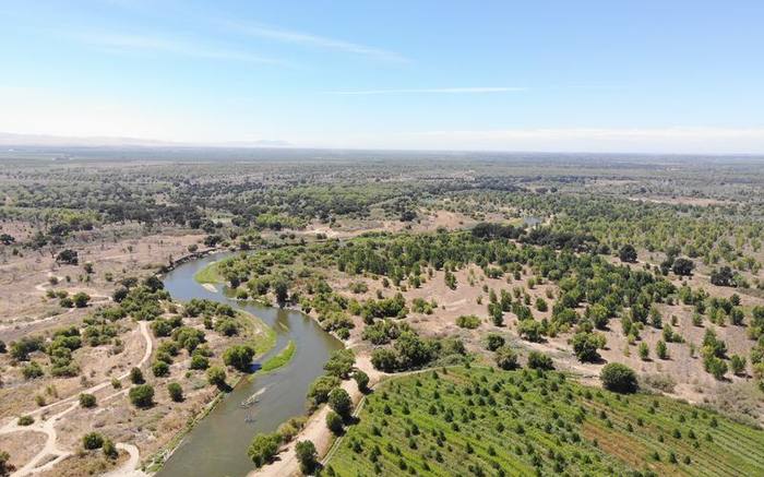
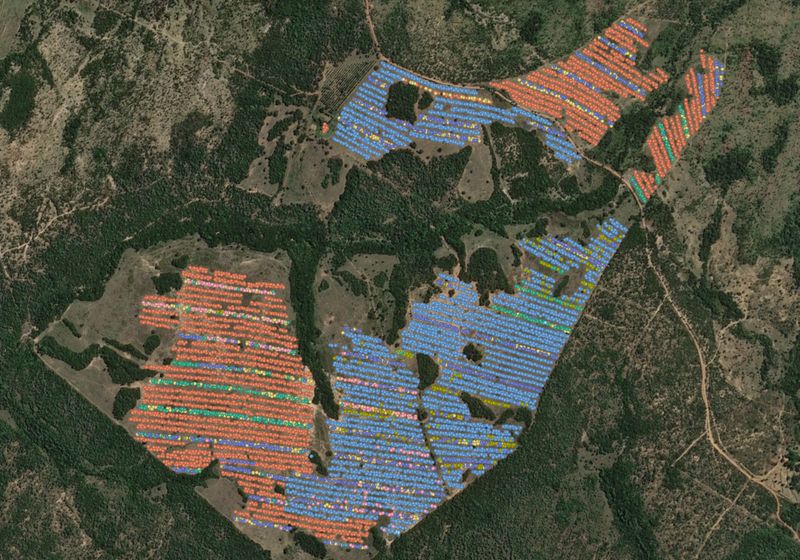
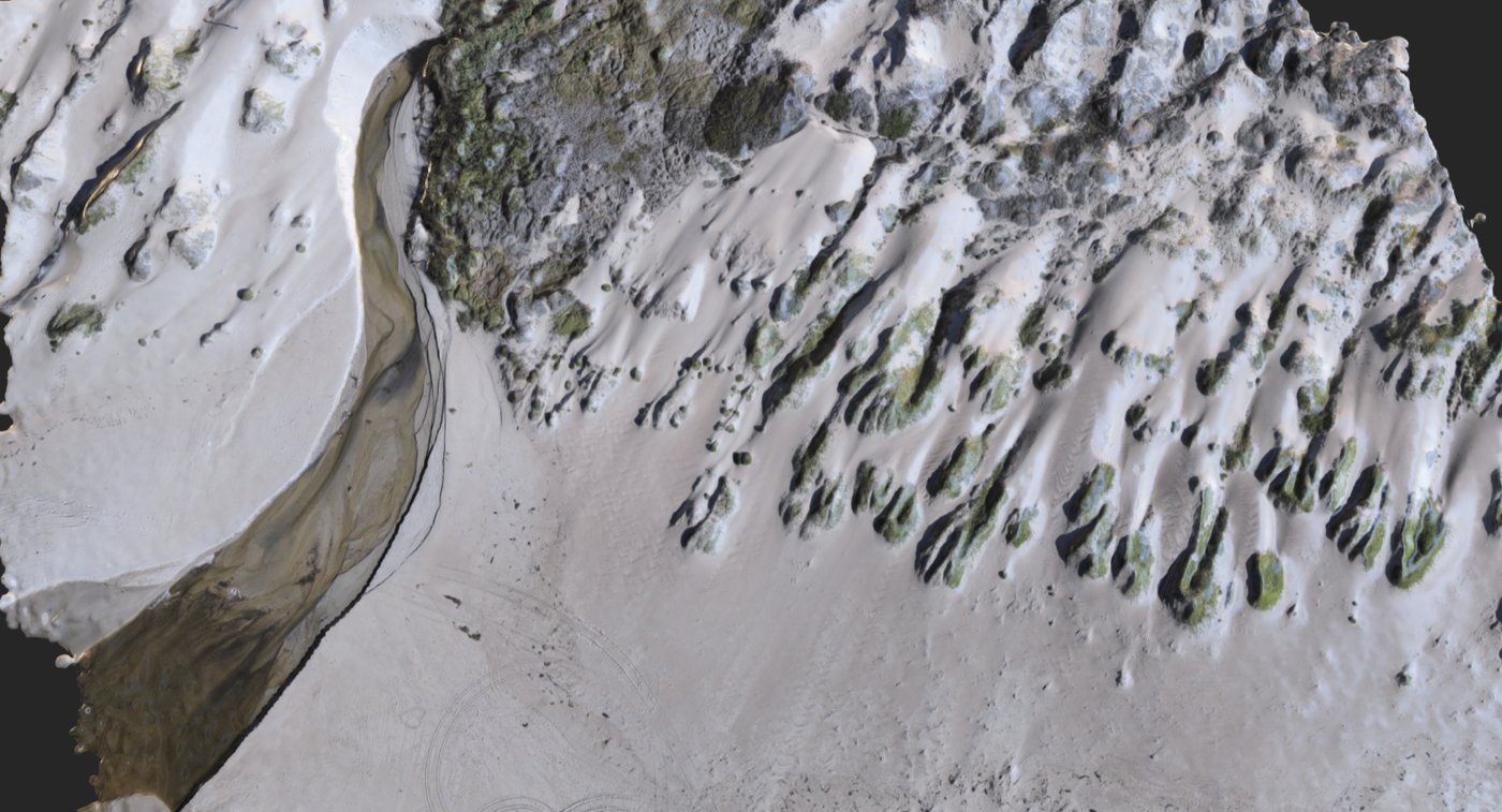
3-D orthomosaic · Oso Flaco, CA · DJI Mavic 2 Enterprise